A topographic map can look like a plate of brown spaghetti the first time you really study one. But every one of those squiggles means something specific, and once a few key ideas click into place, the whole sheet turns into a three-dimensional picture of the land. You don't need to be a mountaineer to read one — you just need to understand four things: contours, grid references, scale, and how to point the map the right way.
Contour Lines: The Shape of the Land
Contour lines are the heart of a topo map. Each line connects points of equal height, usually drawn every 10 metres of elevation, with thicker "index" lines every 50 metres carrying the actual height figure. The trick to reading them is spacing. Lines packed tightly together mean a steep slope; lines spread far apart mean gentle, flat ground. A tight bundle of lines forming a V tells you there's a valley or stream gully, with the point of the V aiming uphill. Once you start seeing hills bulge and valleys cut into the page, you'll never look at the brown lines the same way again.
Grid References
The blue grid overlaid on the map lets you describe any point with a number anyone else can find. Read the easting first — the line up the left-right axis — then the northing, the one running bottom to top. The mnemonic that's saved me a hundred times is "along the corridor, then up the stairs." A four-figure reference pins you to a one-kilometre square; add a third digit to each half and a six-figure reference narrows it to a 100-metre box, which is plenty close for finding a cache or describing where you are to mountain rescue.
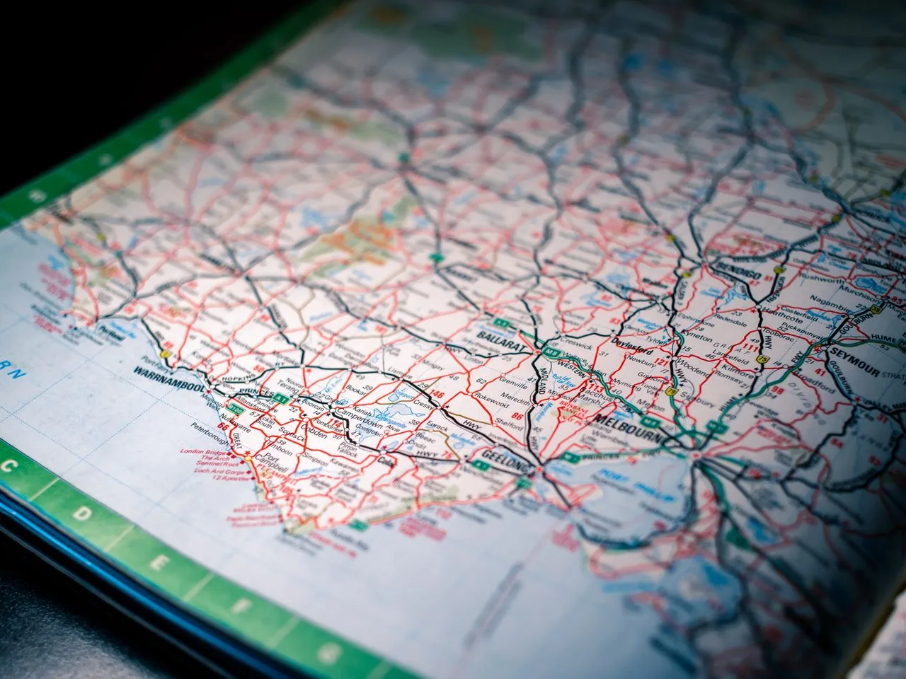
Scale and Distance
Scale tells you how map distance relates to ground distance. A 1:25,000 map — the geocacher's favourite — means one centimetre on paper equals 250 metres on the ground, and each grid square is a tidy one kilometre across. That square is your built-in ruler: glance at how many you'll cross and you've got a rough distance without measuring a thing. Plenty of free outdoor adventure resources worth bookmarking, including National Geographic's adventure pages, will reinforce the habit of planning a route by counting squares before you ever set off. It's a small discipline that turns "we'll be there soon" into a real estimate.
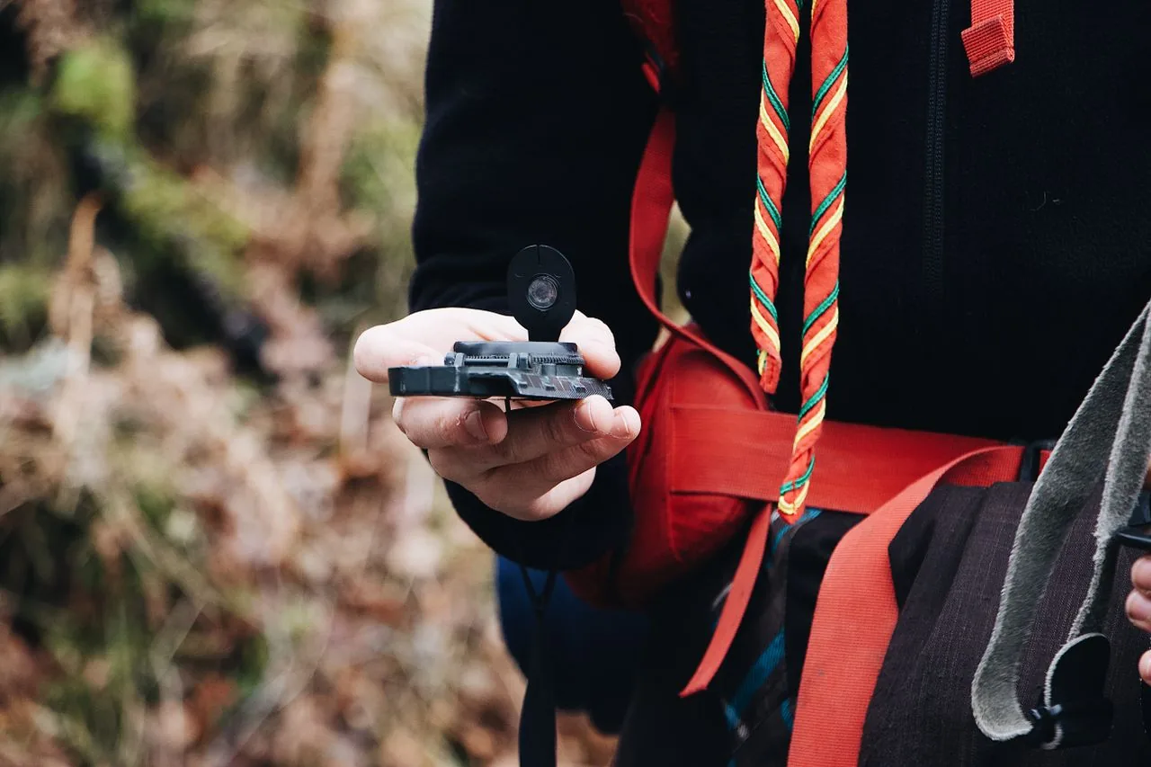
Orienting the Map
The single move that makes everything click is orienting the map — physically rotating it so the features on paper line up with the world in front of you. Lay your compass on the map, turn both together until the map's north lines point to magnetic north, and suddenly the hill on your left is the hill on the map's left. No more standing at a junction holding the sheet upside down. Do this every time you stop, and reading terrain stops being a puzzle and starts being obvious. Panic comes from a map that doesn't match the ground. Line them up, and the panic simply has nowhere to go.