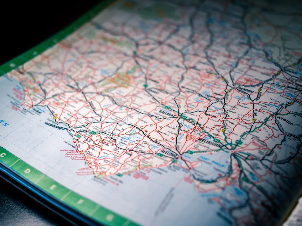
Coordinates are the language geocaching is written in, and yet most people use them for years without ever quite understanding what the numbers mean. You type them in, an arrow points, you follow it. That works fine — until the day a cache description gives coordinates in a format your device won't accept, or your reading disagrees with your friend's by a frustrating few metres. A little understanding clears all of that up for good.
Latitude and Longitude
Every point on Earth is fixed by two numbers. Latitude measures how far north or south of the equator you are, from 0 degrees at the equator to 90 at each pole. Longitude measures how far east or west of the prime meridian — the line running through Greenwich — from 0 to 180 degrees. Picture a grid wrapped around the globe: latitude lines stack horizontally like rungs of a ladder, longitude lines run top to bottom like the segments of an orange. Any spot on the planet sits where one of each crosses.
Decimal Degrees vs DMS
Here's where confusion creeps in, because there are several ways to write the same point. Decimal degrees express it as a single number with a long decimal tail, like 51.4778. Degrees-minutes-seconds (DMS) splits that degree into 60 minutes and each minute into 60 seconds, giving you 51 degrees, 28 minutes, 40 seconds. Geocaching most often uses a hybrid — degrees and decimal minutes, like 51 degrees 28.660 minutes. They all describe the exact same place; they're just different notations, like writing a half as 0.5 or one-half. The trick is making sure your device is set to the same format the cache page uses, because typing decimal degrees into a box expecting DMS sends you to entirely the wrong field.
Datums and Why WGS84 Matters
The subtler gremlin is the datum — the mathematical model of the Earth's shape that the coordinates are measured against. The planet isn't a perfect sphere, so over the years different regions built different models to fit their local survey. Modern GPS, and geocaching as a whole, standardises on WGS84, the global datum. If your device is accidentally set to an older datum like OSGB36, your coordinates can land you a hundred metres or more off. It's worth following the official geocaching guidelines at Geocaching.com and simply leaving every device on WGS84 — that single setting prevents the most baffling near-misses in the hobby.
Why Your Numbers Disagree
So when your reading and a friend's differ by a few metres at the same cache, it's usually one of three things: a different format making you compare apples to oranges, a mismatched datum, or simply ordinary GPS drift as satellites move and signals bounce. Drift of three to five metres is completely normal and nothing to worry about. Format and datum errors are the ones that send you searching the wrong tree entirely. Get those two locked down and your coordinates will agree with everyone else's, every time — and the hobby's strange row of numbers finally makes plain sense.